Difficulty: Easy
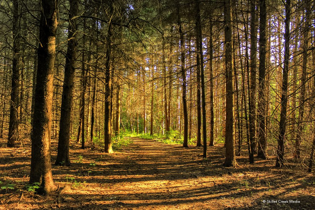
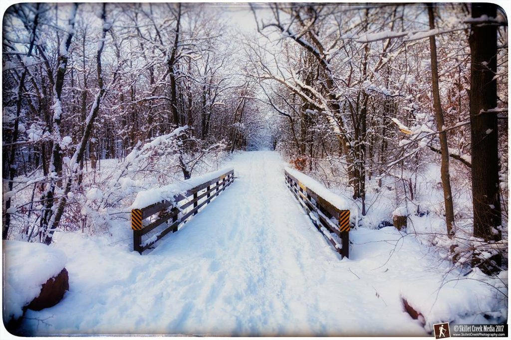
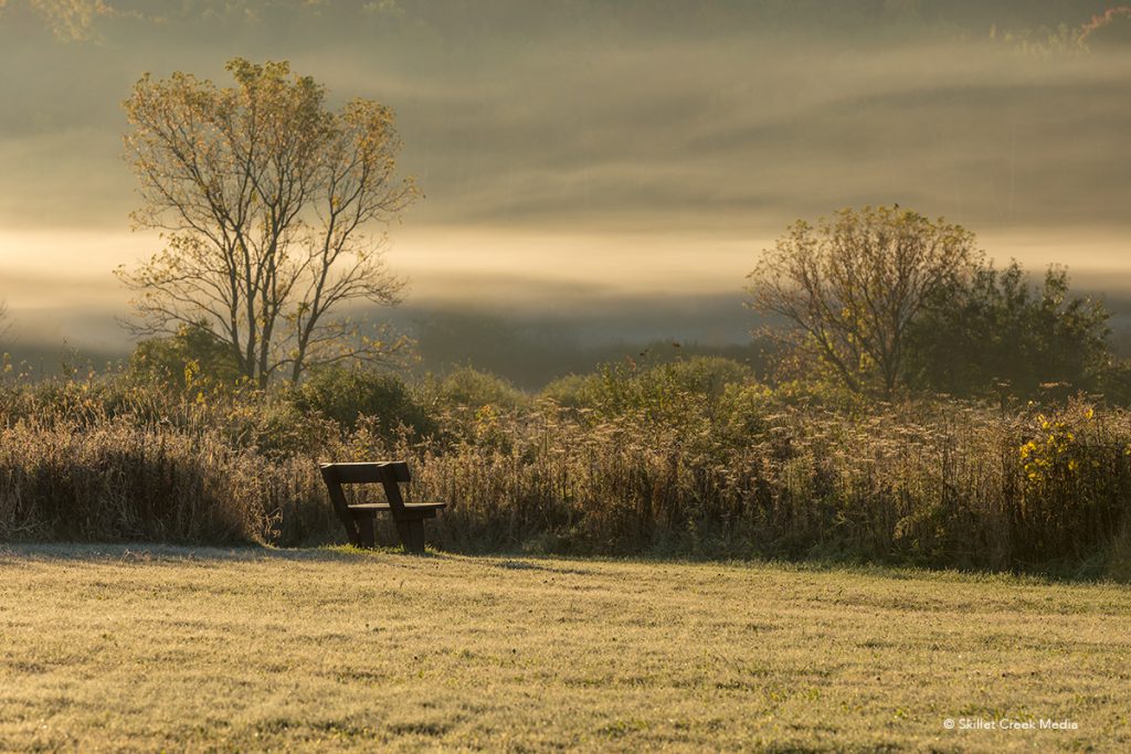
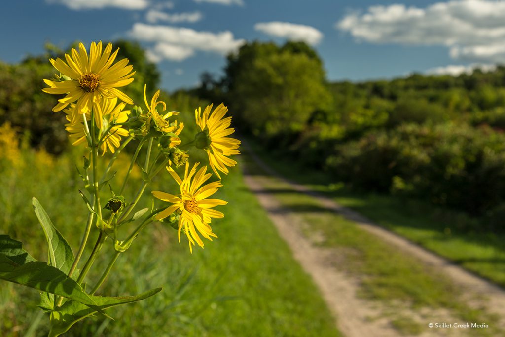
Why Hike It? The Steinke Basin Trail (Loop) offers a relaxing moderately flat walk through a variety of environments including forests & wetlands. There is a photogenic bridge over a rocky stream that flows in the spring and after wet weather. The basin area is a nice option for birders as well.
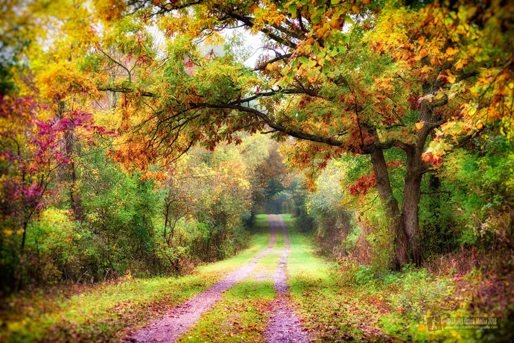
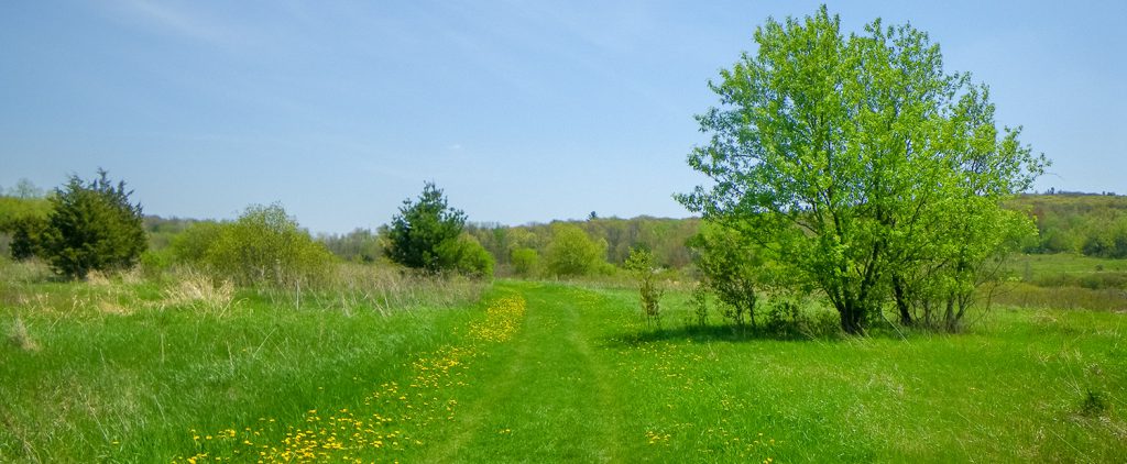
Description: An easy, level, often wide, grassy, wooded loop trail through an extinct glacial lake bed. Includes bridges and a variety of land covers. (2.5 miles, approximate hiking time 2 hours)
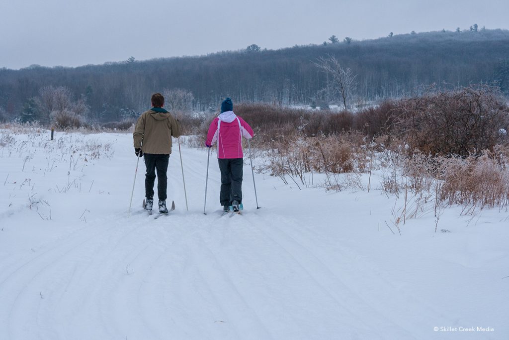
Winter Use: This trail is designated “multi-use” for non-motorized activity. The trail is popular for snowshoeing and skiing. As of 2018, the trail is no longer tracked but it may be “flattened”. Snowshoers & hikers may walk on the flattened trail, but should avoid any “rails” created by skiiers.
Special Notes:
- The Steinke Basin Trail is often extremely muddy in some sections during the spring and other wet periods.
- Pets are required to be on-leash at all times, However, it is common have unleashed dogs run up on you on this trail.
- Bikes are not allowed on the Steinke Basin trail other than to access the Uplands Trail from the parking area or the Northern Lights Campground connector. This applies to fat tire bikes in winter as well.
- Hunting is allowed in much of the Steinke Basin area. Hikers need to be aware of hunting seasons, and wear blaze orange.
Photo Gallery
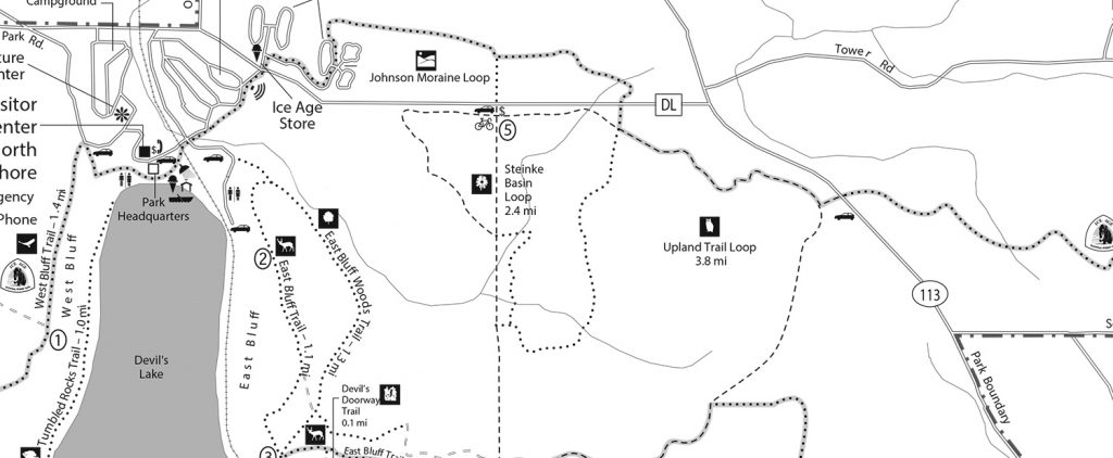
Map
The Steinke Basin Loop was omitted by Google Maps. Below is this section of the official park map.
