Difficulty: Medium to Difficult
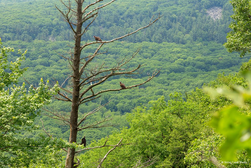
Why Hike It? Some nice views, generally less crowded 4 mile loop.
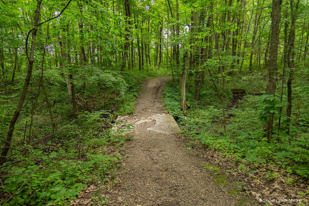
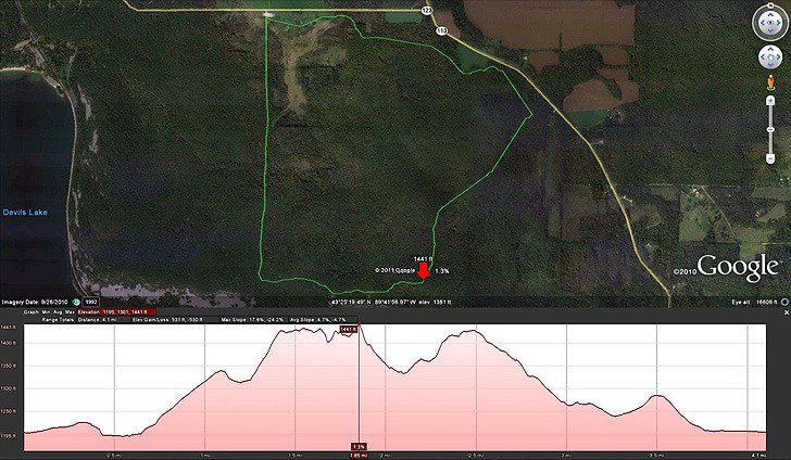
Description: A medium effort hiking trail (challenging bike trail) that is long, winding with variable grades through fields, brushy areas, and woods. The trail rises some 325 feet from the Steinke Basin Parking area, follows along the top of the east bluff offering scenic views at the south end, before once again descending into the basin. Some low-lying areas can be wet and muddy depending on season and rainfall.
Winter: Climate is everything on the Uplands. When not covered in snow, this trail very icy or even wet and muddy in sections. Visitors do ski and snowshoe this trail when the weather cooporates.
Special Notes
Hikers and cyclists share this trail and should be attentive, especially around blind corners. Off-leash dogs, while not legal are common. (3.8 miles)
The Uplands Trail often has maintenance problems. Downed trees, deep ruts, mud and washouts are common and demand your attention at all times.