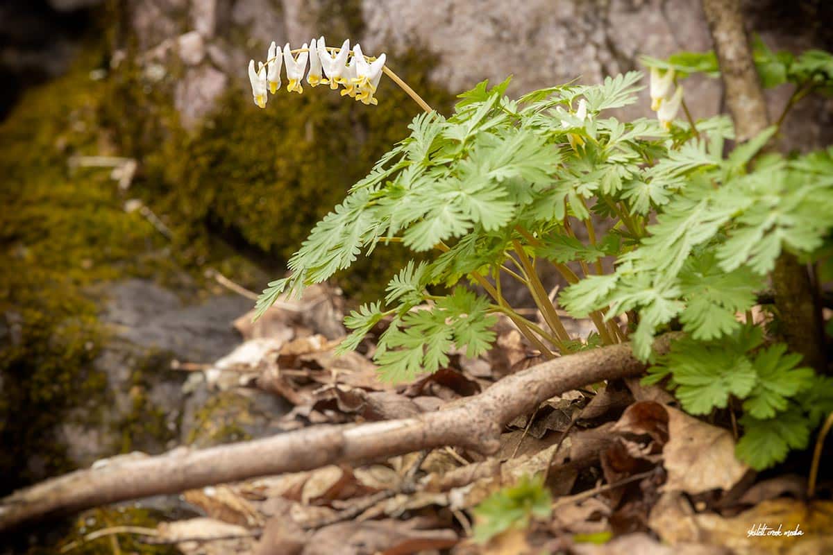
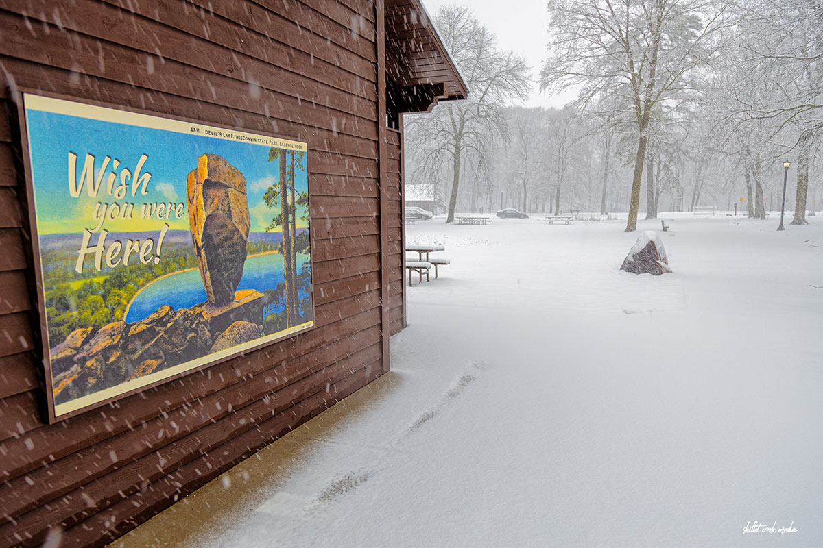
Spring has sprung at Devil's Lake State Park, and with it comes a charming little…
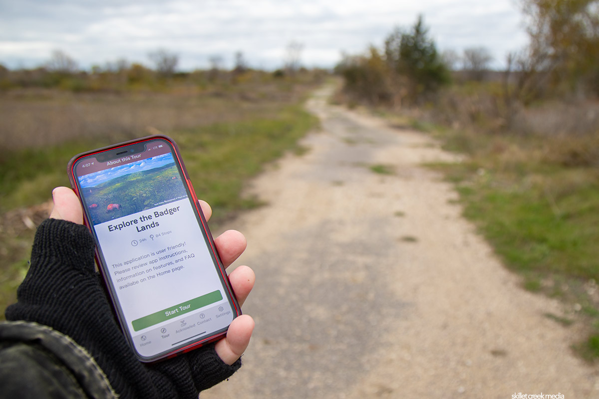
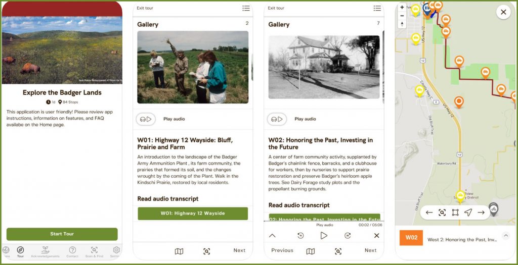
There’s a great new way to explore the Sauk Prairie Recreation Area on the southern border of Devil’s Lake State Park and it’s totally free! Check out the Sauk Prairie Conservation Alliance’s new Explore The Badger Lands App!
The Sauk Prairie Alliance is a non-profit organization dedicated to the restoration and conservation of the former Badger Ammunition Plant property that was returned to the public some years back now. This of course includes holding the Wisconsin DNR to the agreed-upon Badger Reuse Plan through leadership changes and fickle winds of politics while educating the public as to why this 2001 plan was important in the first place. The new Badger Lands App provides the public with a way to explore the Sauk Prairie Recreation Area while learning about history and more. Here’s what the Alliance has to say about the app…
“As a navigational and interpretive tool, the app offers audio-visual content on the geologic, natural, cultural, and conservation histories across the former 7,350-acre Badger Army Ammunition Plant. The Badger Lands are now managed by the Ho-Chunk Nation, Department of Natural Resources, and US Dairy Forage Research Center, who continue to make improvements to infrastructure and conduct restoration projects on the property. The app will be especially useful for visitors exploring the 3,450-acre, state-owned Sauk Prairie State Recreation Area, which has been open to the public since 2018. The other properties have no public access but can be viewed from the adjacent public roads and trails.”
The app is free and available through the Apple Store and Google Play. Just click on over to the Sauk Prairie Conservation Alliance website for the links which are directly on the homepage.
Remember, this time of year there are hunters within the Sauk Prairie Recreation Property, and hikers, bikers, etc. should wear blaze orange and be a bit cautious.

For nearly 2 decades the Skillet Creek blog has focused on 3 main goals; To inspire you to visit and explore the Devil’s Lake region, to help you get the most your visit by sharing tips, events, and other helpful information. Lastly to advocate for our environment & wildlife and talk about how we can keep our natural areas amazing now and into the future! That last goal can sometimes cause controversy, but it’s the only way we can accomplish the first two. – Derrick Mayoleth, Owner.
Related Posts