Difficulty: Difficult
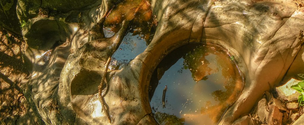
Why Hike It? Great views. Hike through an amazing gap in red rocks. See “potholes” carved by ancient waters.
Description: A very difficult, steep, forested trail consisting mainly of stone steps. Good views of the southern areas of the park can be seen. The trail travels through an amazing split in the rock face about 2/3 the way toward the top. A series of rounded, eroded, depressions or potholes created by fast moving water millennia ago, are located near the top. (.3 mile, approximate hiking time 2 hours)
Winter: Can be snow-covered, slippery and dangerous. Because of a small, natural drainage, there is often a thick ice flow that covers the stairs just below the potholes themselves. Be careful!
Photo Gallery
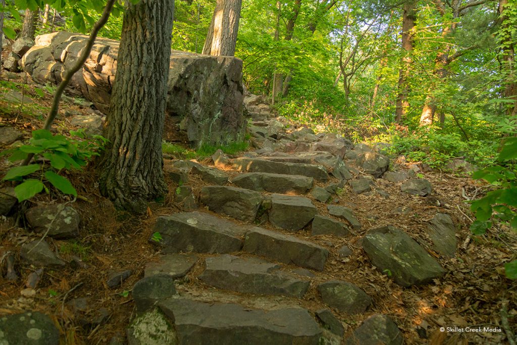
Lots of Stairs! 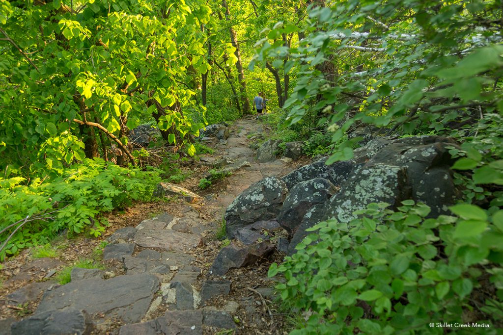
Even More Stairs 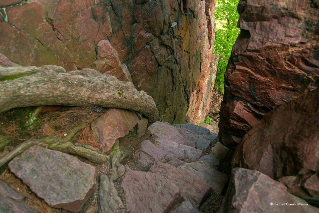
Through The Gap 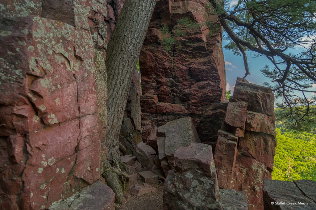
Amazing! 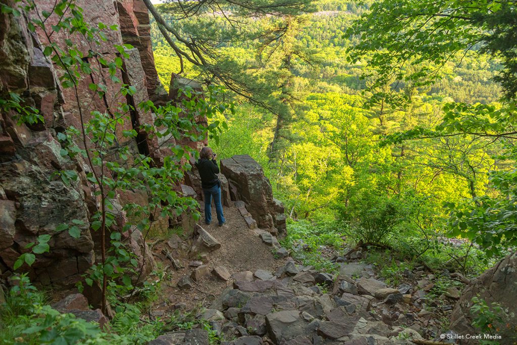
Big Views! 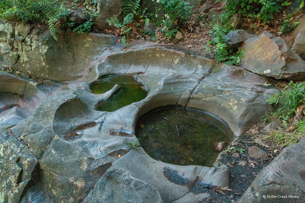
The Potholes
Google Map
Note: Access the Potholes Trail (Noted below in Blue) from the Grottos Trail below or the East Bluff Trail Above. The Potholes, Quartzite & CCC trails are not currently on the Google Map. We have added approximate locations in for your convenience.