Parfrey’s Glen is Wisconsin’s first State Natural Area and is unquestionably the most visited state natural area outside of Devil’s Lake State Park. The glen is open to the public from 6 am to 8 pm.
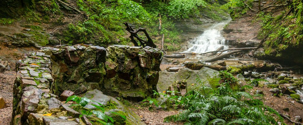
At its uppermost part, the glen reaches a depth of nearly 100 feet and embraces a mountain-type stream flowing through its floor. The Glen’s walls are sandstone embedded with pebbles and boulders of quartzite. This quartzite is conglomerate, sometimes called a “plum pudding” stone. The sandstone layers represent ancient sandy beach. Because the glen is home to a variety of threatened plants and insects, visitors must stay on the trail from the lower parking area to the top of the glen and retrace their steps back. The path is about 0.8 miles long.
Floods & Impact
In the last 20 years, the glen has been changed drastically by powerful floods and the “Instagram Effect”. The glen has gone through repeated closures, repairs and upgrades in recent years. The bridges and trail that was known to hikers in the 80s and early 90s is now gone. After a decade of regular “100 year” floods, the DNR stopped spending on trail maintenance within the gorge. Hikers wishing to continue up to the waterfall must navigate a stream and rough stone. The steps leading up to the old viewing area and the viewing area are also in ruin. Steps are missing and a section of the viewing area is now partly collapsed. Visitors are allowed to hike the stream up to the pool below the waterfall, but may not go around or beyond the falls. That said, many people do. Erosion damage and vandalism are a real problem in the glen.
Rules for Parfrey’s Glen
- Stay on Designated Trails.
- Stay out of Closed Areas.
- Do NOT hike beyond the waterfall.
- NO PETS are allowed in the Glen.
- No rock climbing, rappelling or off-trail exploration.
- No carry in food or drink.
- Picnicing is allowed near the parking area.
- No picking plants or collecting any objects.
- A current Wisconsin State park sticker is required on all vehicles.
Pafrey’s Glen is about 4 miles east of Devil’s Lake State Park. To reach Parfrey’s Glen, just take Hwy. 113 south out of Baraboo and turn left on DL. The entrance will be on your left a few miles down. The entrance is a bit hard to see, but if come to a 4-way stop near the Old Schoolhouse Restaurant, you passed it. Just turn around and go back about a half mile.
More Photos
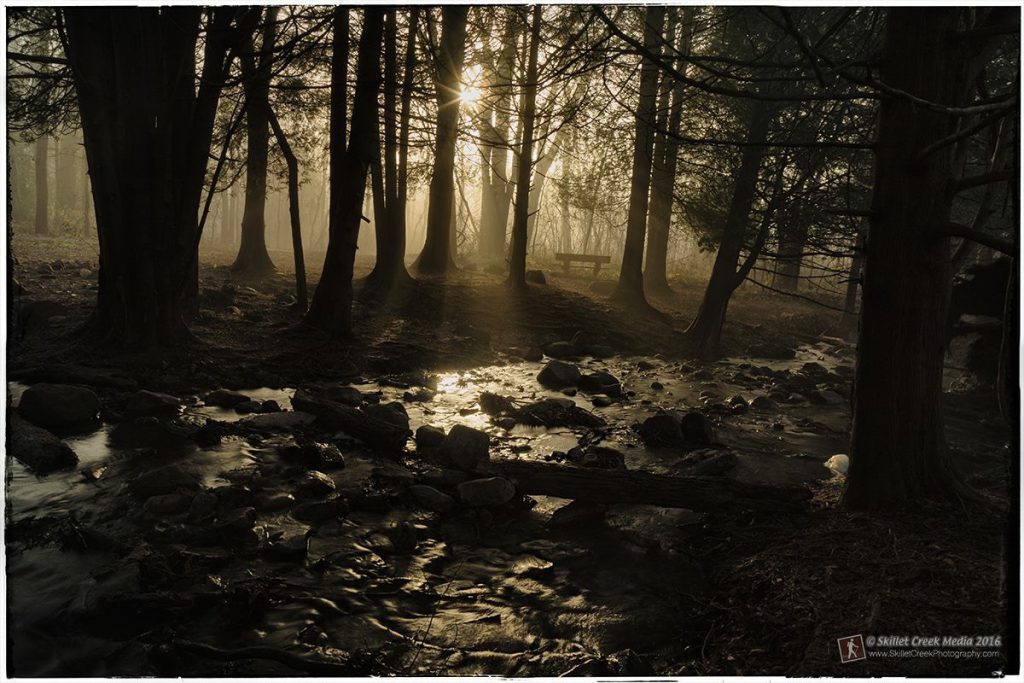
Morning Sun 
Wooded Path 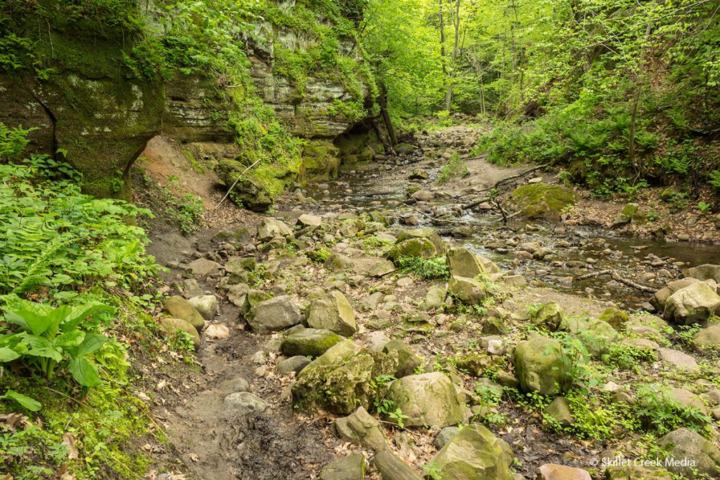
No Trail = Wet Feet 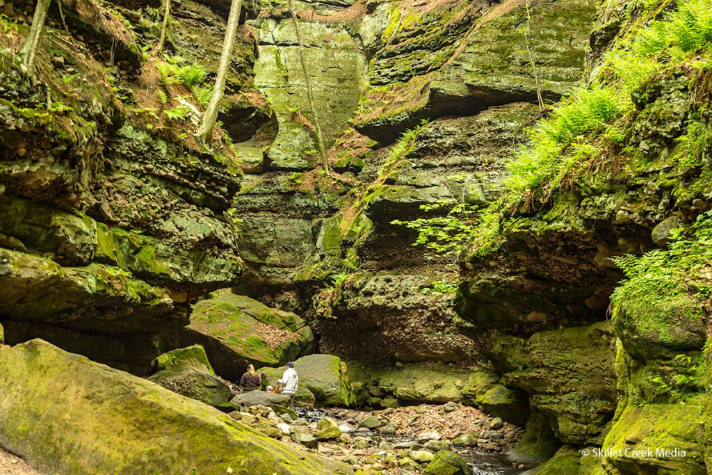
High Walls 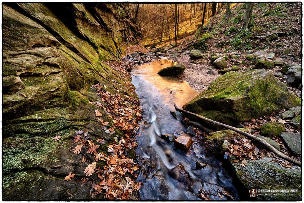
Autumn in the Glen 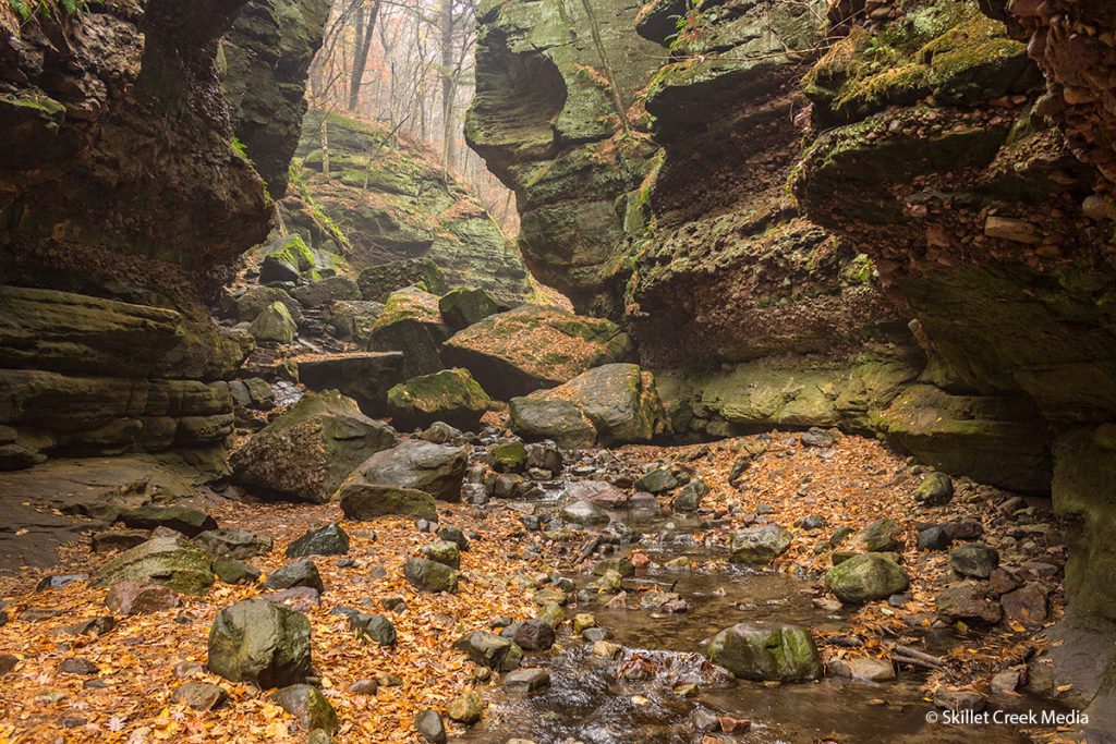
Up to the Falls 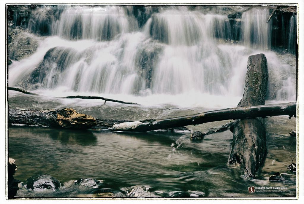
Waterfall 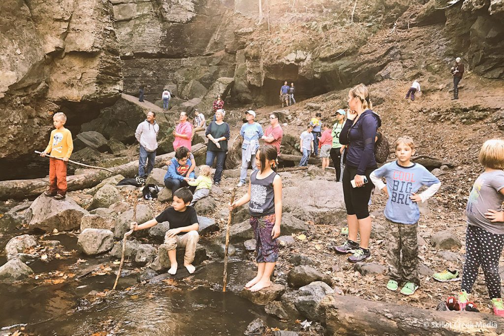
Summer Crowds